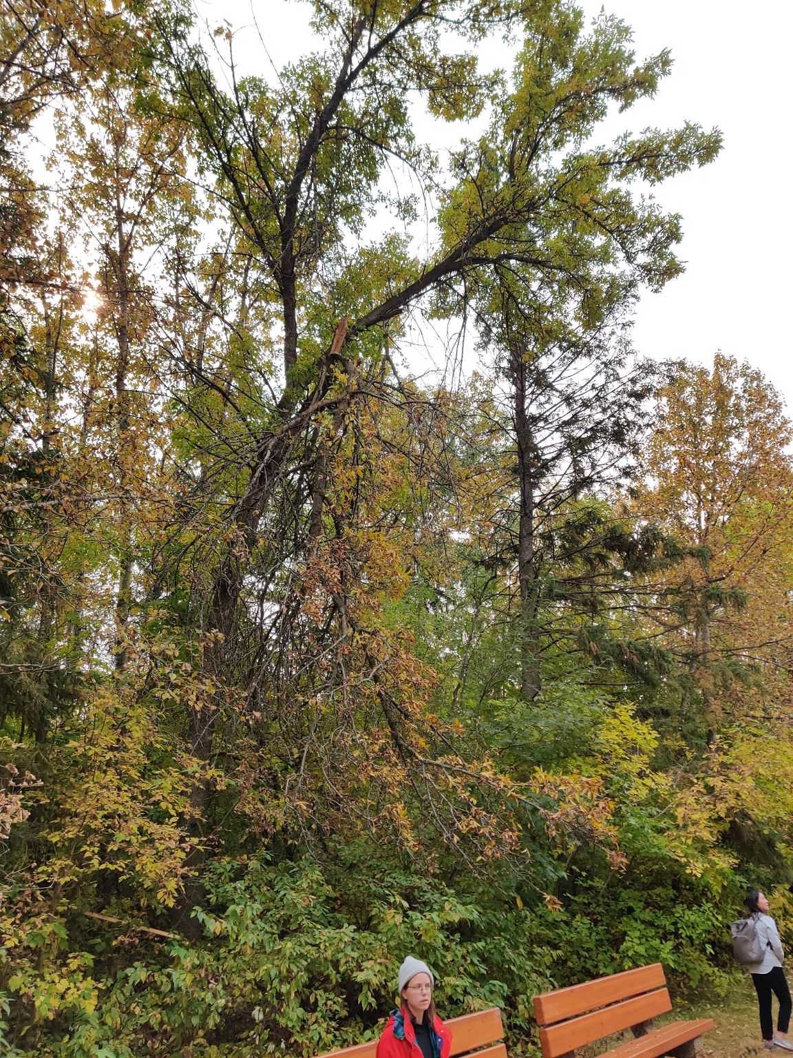
Tree/Branch Damage - Public Property at N53.51 E113.55
Submitted Sat Sep 19, 2020
Issue: Split/Cracked
Where: Trail (Granular Surface)
address: 13221 BUENA VISTA ROAD NW
coordinates x,y: 29906.955035810843, 5930903.447081826
coordinates lat,lng: 53.5102082, -113.5491614
| Timestamp | Description |
|---|---|
| Mon Sep 21, 2020 12:17pm | Closed with status: Deferred-Future Work Planned. |
| Sat Sep 19, 2020 12:32pm | Opened |
| Sat Sep 19, 2020 12:31pm |
Submitted via Android |