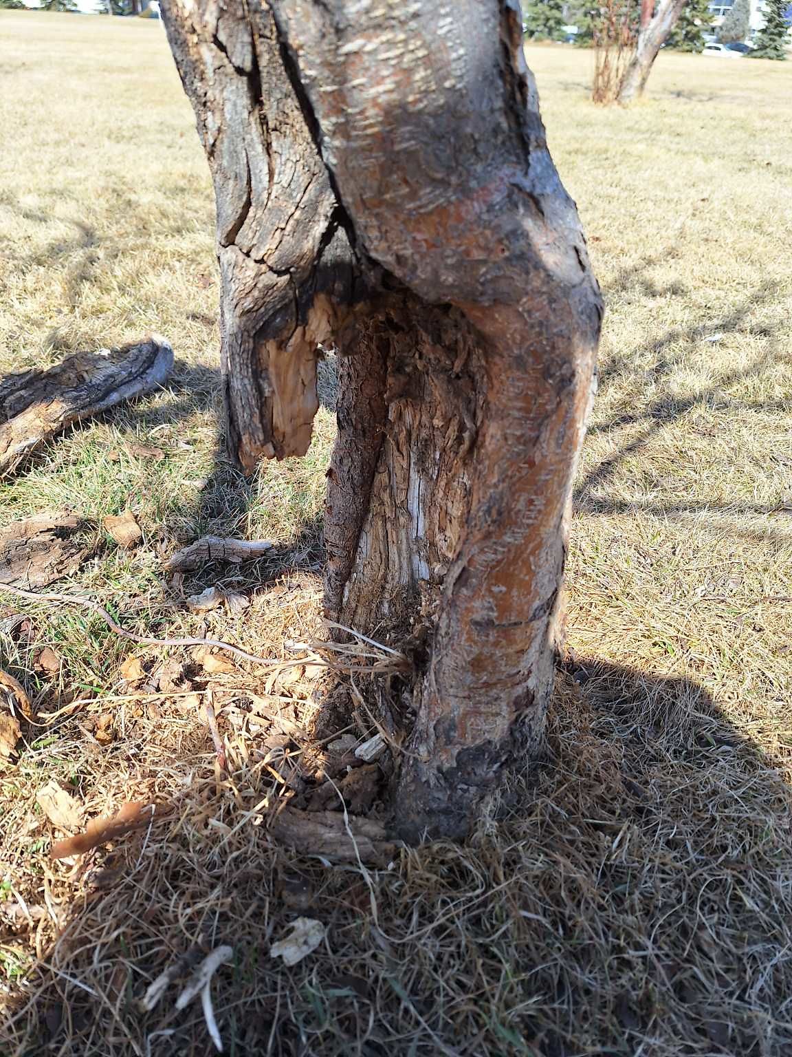
Tree/Branch Damage - Public Property at N53.46 E113.50
Submitted Fri Apr 12, 2024
Issue: Split/Cracked
Where: Trail (Granular Surface)
Accessibility/disability issue? no
Related Ticket:
address: 10527 29 AVENUE NW
coordinates x,y: 32967.26620302766, 5925328.282031569
coordinates lat,lng: 53.4599288, -113.5036151
| Timestamp | Description |
|---|---|
| Tue Apr 16, 2024 02:24pm | Closed with status: Deferred-Future Work Planned. |
| Tue Apr 16, 2024 02:11pm | Reopened with status: Work Planned-Route/Schedule Dependent |
| Mon Apr 15, 2024 07:35am | Closed with status: Deferred-Future Work Planned. |
| Fri Apr 12, 2024 12:50pm | Opened |
| Fri Apr 12, 2024 12:50pm |
Submitted via Android |